Home
Contatti
La Sezione
Back
Chi siamo
Organizzazione
Personale
Back
Amministrazione
Amministrazione Trasparente
Info fornitori
Bandi e concorsi
INGV Pisa - Decreti e Delibere
Ricerca
Back
Attività
Linee di attività
Pubblicazioni
Back
Progetti e Convenzioni
Progetti
Convenzioni
Back
Gruppi di emergenza
Gruppi di emergenza
Infrastrutture
Back
Informatiche
Banche Dati
Calcolo Scientifico e archiviazione dati
Back
Tecniche
Laboratori
Servizi
Back
Biblioteca
Biblioteca
Back
Divulgazione e didattica
Divulgazione
Back
Area riservata
Area Riservata
Webmail
Back
Centri di monitoraggio
CME - Centro Monitoraggio Eolie
News ed Eventi
Back
Articoli
Archivio articoli
Archivio Eventi
Archivio News
l'INGV
Back
Il Portale
Organi e strutture
Sezioni e Sedi
Personale
Cataloghi e banche dati
L'INGV e le sue reti
Newsletter
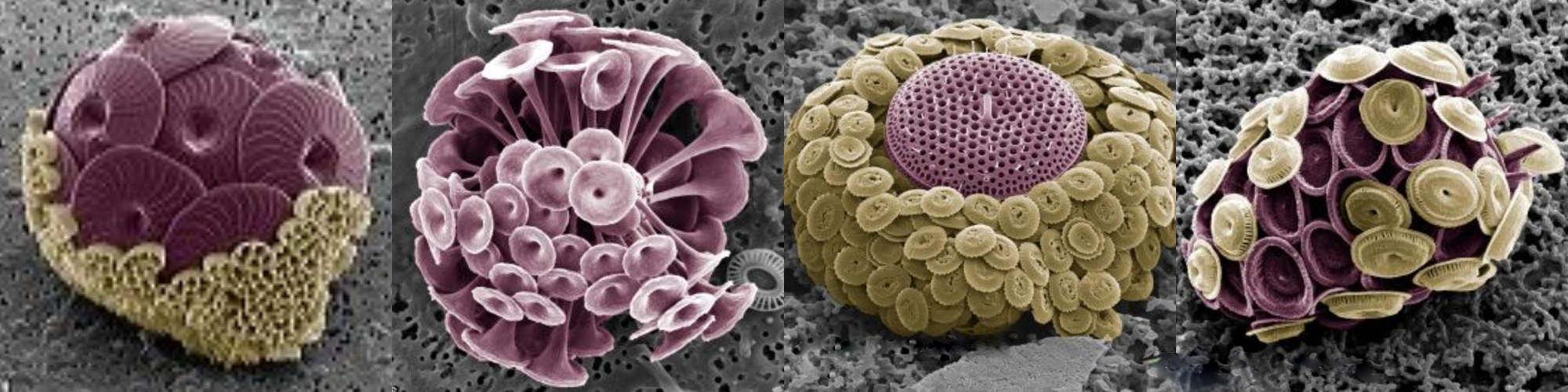
Emiliana Huxleyi
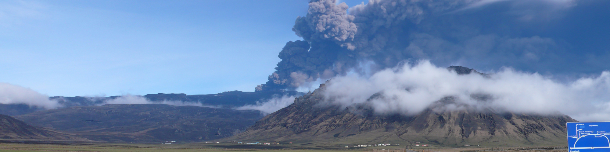
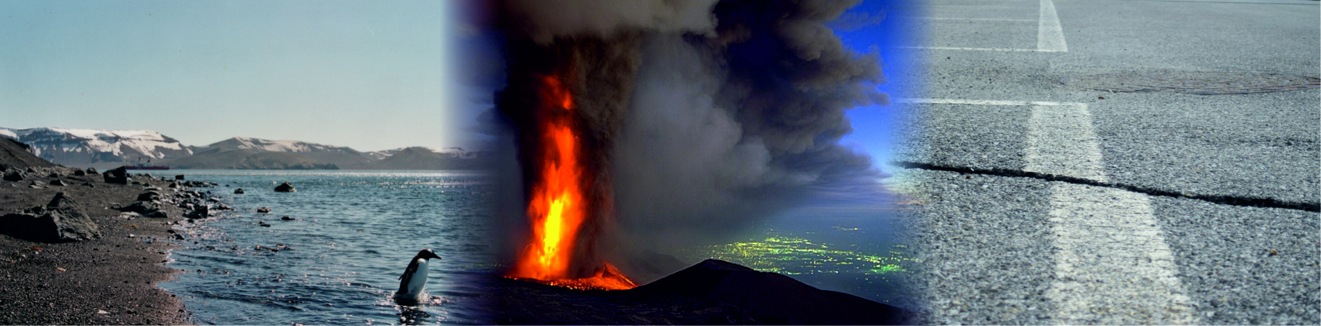
Eyjafjallanokull - Islanda
Faglia
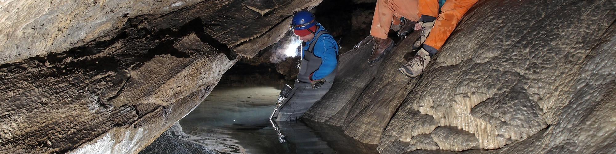
Grotta
Duomo
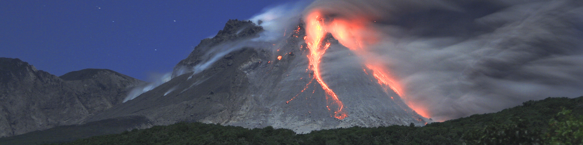
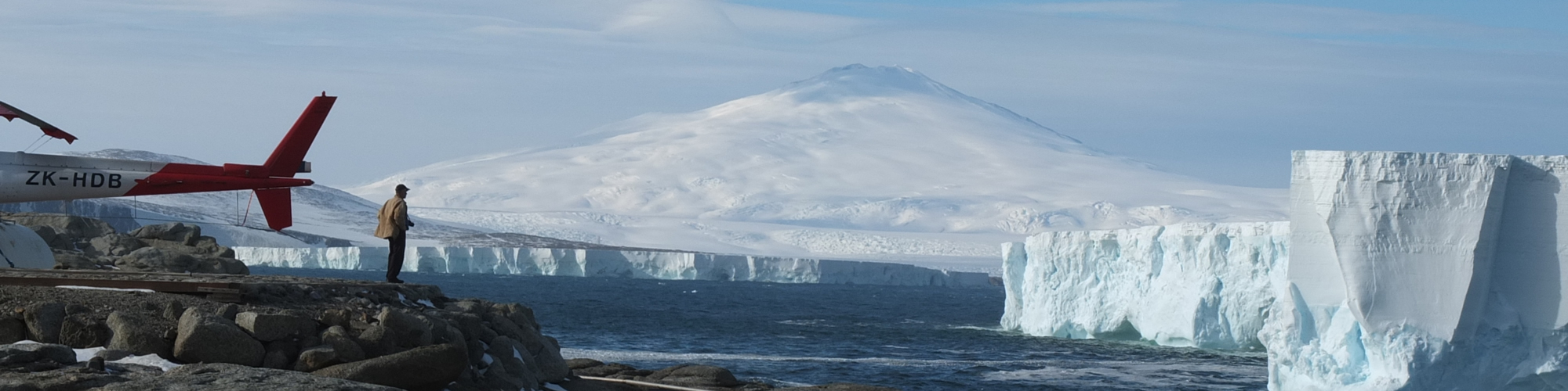
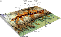
Antartide - Melboune Volcano
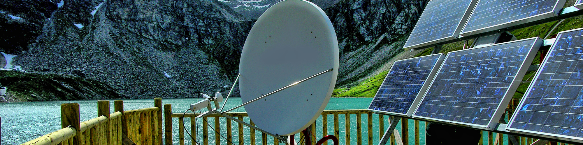
Stazione sismica
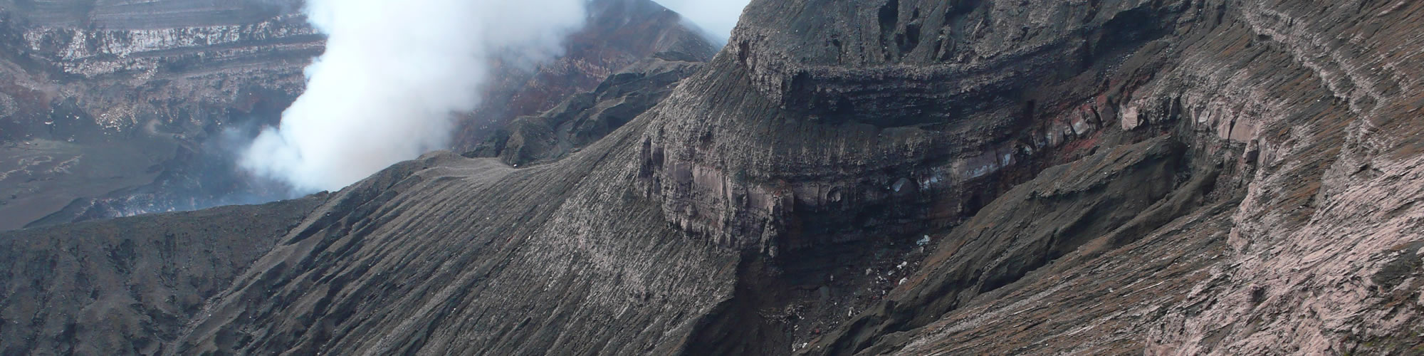
Ambrym, Benbow
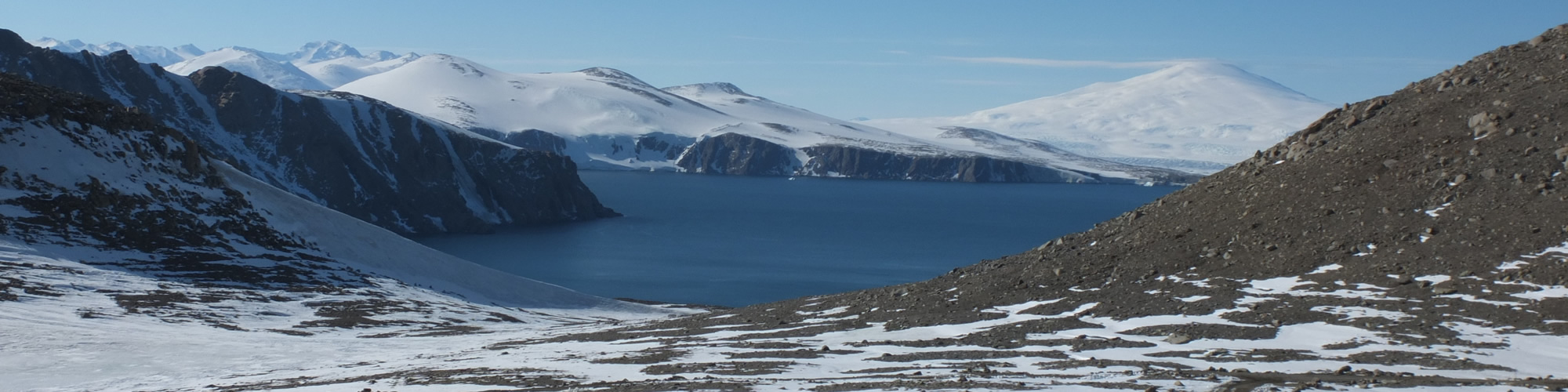
Melboune Volcano - Antartide
IN PRIMO PIANO
18 Dicembre 2015
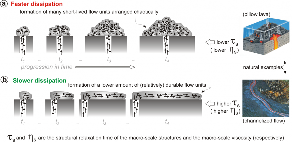
Non equilibrium structures in lava flows
| 18 Gennaio 2016 | ore
...
15 Dicembre 2015
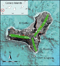
New insight into the 2011-2012 unrest...
Stavros Meletlidis, Alessio Di Roberto, Itahiza
...
2 Dicembre 2015
Constraints on the Nature and Evolution...
Kahl, M., S. Chakraborty, M. Pompilio
...
1 Dicembre 2015
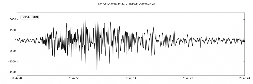
Piccoli terremoti al largo della costa...
Il 30 novembre, alle 21:42:44 ora
...
6 Novembre 2015
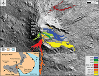
Testing a geographical information system for...
Latutrie B., I. Andreakis, T. De
...
30 Ottobre 2015
NEMOH: LA NETWORK EUROPEA PER LA...
Dal 16 al 18 novembre si
...
GRUPPI DI EMERGENZA
EUROVOLC VDCC
DOWNLOAD
QUICKLINKS
MULTIMEDIA
Amministrazione trasparente
Avvisi pubblici
Bandi e concorsi
Bandi di gara
Accesso civico
Atti di notifica
Close
Font Resize
A-
A+
Reset font size
Readable Font
Underline links
Highlight Links
Clear cookies
Images Greyscale
Invert Colors
Remove animations
Close
Accessibility by WAH