



The chronology of the Last Interglacial relative sea-level in the Mediterranean Basin: New data from Grotta del Diavolo (Southern Italy)
Isola I., M. Bini, A. Columbu, V. De Santis, G. Mastronuzzi, G. Scicchitano, C. Hai, X. Jia, C.-Y. Huang, S. Chuan-Chou, G. Zanchetta (2026).
Quaternary Science Reviews, 391. https://doi.org/10.1016/j.quascirev.2026.110230
Abstract
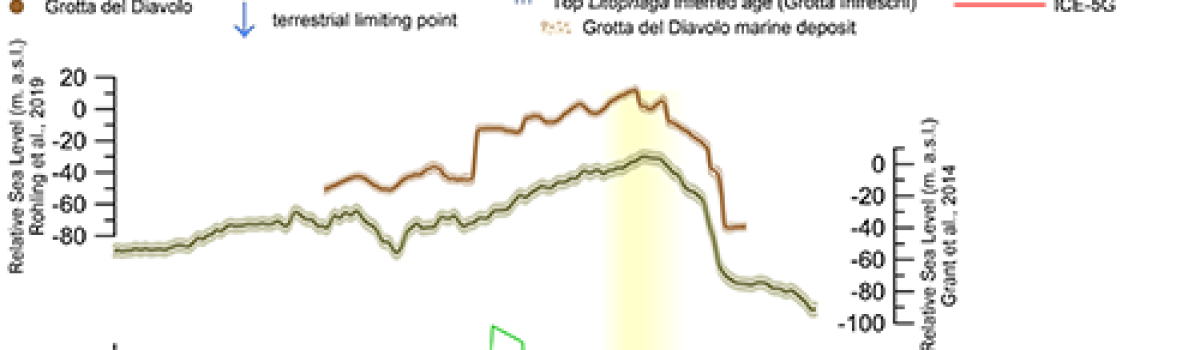
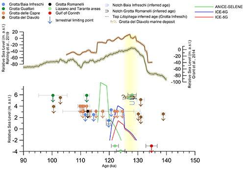
The precise chronology of the Last Interglacial (LIG) highstand marine deposits in the Mediterranean basin is still elusive, and comparison with the glacial isostatic adjustment (GIA) model and global reconstruction remains challenging. In this paper, we revaluated the stratigraphy of the Grotta del Diavolo coastal cave in the Apulia region and we re-dated a suite of speleothems (flowstones) with U/Th methods, which allow us to constrain the main phases of marine ingression into the cave, supplying new insight for the reconstruction of the relative sea level (RSL) curve in the Mediterranean basin. A marine calcarenite layer was related to LIG. This layer is sandwiched by two flowstones, which were chronologically constrained to be younger than ∼130 thousand years ago (ka, relative to AD, 1950) and older than ∼102 ka. Elevation measurement and U/Th dating indicate that RSL during Termination II (TII) was lower than (at least) ∼3 m a.s.l. at ∼130 ka, giving an important limiting point for the TII RSL transgression. These new data, summed with new recently dated speleothems and corals from southern Italy, allow us to estimate the duration of the LIG highstand from <130 ka to >120 ka.
Devi effettuare l'accesso per postare un commento.